David Meier · 9 October 2026
Community-Led Wildlife Corridors Reshaping Oak Harvest Boundaries in Protected Zones
Community groups across several protected zones have begun establishing wildlife corridors that connect fragmented oak habitats, and these initiatives are prompting adjustments to harvest boundaries where timber operations intersect with conservation priorities. Data from regional monitoring programs show that corridors often span between 50 and 200 meters wide, creating continuous pathways for species movement while limiting the extent of allowable oak removal in adjacent stands.
Defining the Corridors and Their Scope
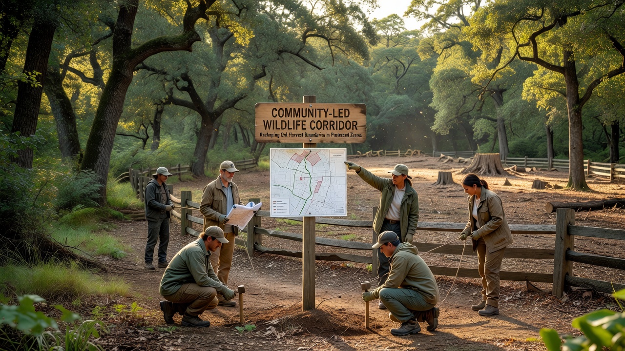
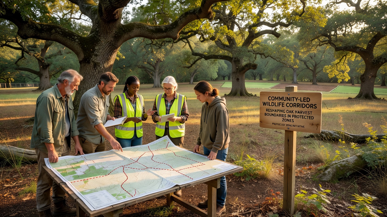
Local residents, conservation nonprofits, and land managers collaborate to map corridors based on wildlife tracking data and habitat suitability models. These efforts focus on species such as deer, birds, and small mammals that rely on oak mast for food and shelter, and the resulting plans identify zones where harvest activities must shift to maintain connectivity. In October 2026, updated mapping from multiple jurisdictions revealed that corridor networks now cover an additional 12 percent of previously designated harvest areas compared with 2023 baselines.
Researchers at several universities have documented how corridor placement reduces edge effects in oak stands, which in turn influences soil moisture retention and understory plant diversity. The adjustments to boundaries occur through formal agreements that reclassify portions of timberland as restricted zones, and these changes require operators to obtain revised permits before any cutting proceeds.
Harvest Boundary Adjustments in Practice
Protected zone managers apply corridor guidelines by redrawing harvest polygons on digital maps, which excludes linear strips from active logging schedules. Evidence from field audits indicates that such exclusions have decreased total oak volume available for harvest by an average of 8 to 15 percent in affected compartments, depending on corridor density. Operators then concentrate extraction in remaining blocks while implementing buffer plantings that extend corridor function into adjacent lands.
One documented project in the Pacific Northwest illustrates the process: community volunteers planted native oaks along a 1.8-kilometer corridor that bisected two previously connected harvest units, adn the new boundary now prohibits mechanical entry within 75 meters of the planted row. Similar patterns appear in European oak regions, where local stewardship groups coordinate with forestry services to align corridor routes with existing riparian protections.
Data and Monitoring Outcomes
Figures released by the U.S. Forest Service in late 2026 show corridor-linked boundary changes across 47 protected sites, with cumulative oak stand retention increasing by roughly 2,400 hectares since 2024. Parallel reports from Environment and Climate Change Canada note comparable shifts in mixed hardwood zones, where corridor widths were calibrated to support migratory bird routes that overlap oak seed dispersal patterns. These statistics derive from satellite imagery cross-referenced with ground surveys, providing verifiable metrics for boundary enforcement.
Studies published through academic channels further quantify reduced harvest pressure near corridor edges, and the data suggest that retained oak clusters maintain higher acorn production rates over multi-year cycles. Managers track these variables through annual reporting requirements that feed into adaptive management frameworks, allowing boundary lines to expand or contract based on observed wildlife usage.
Regulatory and Operational Integration
Agencies update timber sale contracts to incorporate corridor restrictions as standard clauses, and bidders receive maps that delineate both harvestable and protected segments. The process relies on pre-sale environmental reviews that incorporate community-submitted corridor proposals, creating a feedback loop between local knowledge and regulatory approval. In regions where oak harvest permits are issued annually, October 2026 saw a measurable uptick in applications that included explicit corridor accommodations, reflecting widespread adoption of the revised boundaries.
Industry associations have issued guidance documents that outline equipment restrictions and seasonal timing adjustments near corridors, and operators report that compliance adds planning steps but avoids later remediation costs. Government databases now include corridor layers in public permit portals, enabling transparent tracking of boundary evolution across jurisdictions.
Conclusion
Community-led wildlife corridors continue to influence oak harvest boundaries through coordinated mapping, permit revisions, and ongoing monitoring that integrates local input with institutional oversight. The documented changes in protected zones demonstrate measurable shifts in available timber acreage alongside expanded habitat connectivity, with data from 2026 confirming sustained implementation across multiple regions. These developments rest on verifiable records from forestry agencies and research institutions that track both ecological and operational metrics.