Jakob Keller · 6 November 2026
How Volunteer Mapping Projects Are Linking Historical Oak Stands to Modern Restoration Priorities Across Fragmented Regions
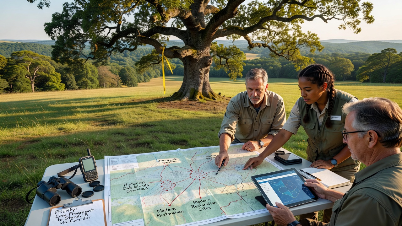
Volunteer mapping projects combine historical records with contemporary geospatial tools to identify remaining oak stands and guide restoration work in regions where habitat loss has created isolated patches of woodland, and these initiatives draw on old survey maps, land deeds, and early botanical surveys that document oak distribution from the 19th and early 20th centuries while overlaying them with current satellite imagery and field observations collected by trained volunteers.
Researchers at institutions across North America and Europe have digitized thousands of archival documents that show original oak coverage before widespread agricultural conversion and urban expansion, and the process allows teams to compare past distributions against present-day conditions measured through citizen science platforms that record tree health, species composition, and regeneration rates in real time.
Methods Connecting Past and Present Data
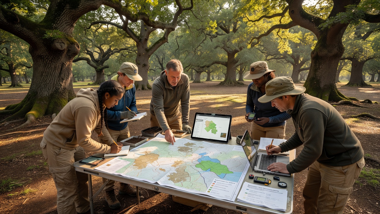
Volunteers receive training in standardized protocols that include species identification, diameter measurements, and GPS tagging, after which they upload observations to shared databases that integrate with geographic information systems maintained by forestry agencies, and this workflow produces layered maps that highlight corridors where historical oak populations align with current restoration targets such as soil stabilization zones or wildlife habitat connectors.
Projects in the Midwest United States have used 1850s General Land Office surveys to locate remnant white oak clusters that now sit within agricultural matrices, while similar efforts in Mediterranean basins compare 19th-century forestry ledgers with drone imagery to prioritize sites for cork oak reintroduction, and the combined datasets reveal patterns of fragmentation that inform seed sourcing strategies and planting densities.
Regional Applications and Data Integration
In Australia, community groups have cross-referenced colonial-era vegetation maps with modern climate modeling to identify refugia where historical Eucalyptus-oak associations persist amid expanding urban edges, whereas Canadian programs in Ontario link 1920s timber cruise records to current biodiversity monitoring to restore oak savanna edges within protected areas managed by provincial authorities.
These mapping layers feed directly into priority-setting frameworks used by land management organizations, and agencies apply the outputs when allocating resources for prescribed burns, invasive species removal, and assisted migration trials that aim to reconnect isolated stands across roads, farms, and development zones.
Role of Technology and Volunteer Networks
Mobile applications equipped with offline mapping capabilities enable volunteers to work in remote or low-connectivity areas, and once data syncs to central servers the information undergoes quality checks by professional ecologists before integration into larger restoration planning models, while universities contribute validation studies that confirm accuracy rates above 85 percent when volunteer observations are compared against expert surveys.
Networks operating in the United Kingdom have partnered with the Forestry Commission to expand coverage of ancient oak woodlands documented in the Domesday Book, and these efforts now feed into national habitat connectivity assessments that guide grant funding for hedgerow restoration between isolated stands.
Current Developments Through 2026
Additional survey campaigns scheduled for November 2026 will target under-mapped riverine oak systems in the Pacific Northwest and the Iberian Peninsula, expanding the spatial resolution of existing datasets and incorporating new variables such as drought stress indicators derived from remote sensing, while ongoing collaborations with research institutions continue to refine algorithms that predict which historical sites offer the highest likelihood of successful restoration under changing climate conditions.
Funding from regional conservation trusts supports equipment loans and data storage infrastructure that keep these volunteer-driven programs operational across multiple jurisdictions, and the resulting maps influence permitting decisions for infrastructure projects that must demonstrate avoidance or mitigation of impacts on legacy oak populations.
Conclusion
Volunteer mapping initiatives continue to bridge archival knowledge with actionable restoration planning by producing spatially explicit datasets that prioritize reconnection of fragmented oak habitats, and the approach demonstrates how distributed observation networks can scale to address landscape-level challenges when coordinated with government agencies and academic partners.